Muttaburra was formerly in the Aramac Shire Council but is now part of the LA area of Barcaldine. The region forms part of the Eromanga Basin, which is a sub-basin of the Great Artesian Basin. Prolonged erosion etched out areas of softer rock to form lowlands while leaving harder rocks standing up as scarps and hill masses.
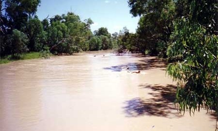
The region experiences a subtropical climate with warm winter days, cold nights and long hot summers. Lying in the 400 to 550 mm rainfall zone, the majority of rain occurs during the summer months. Flooding occurs most years, and occasionally large areas fronting the major watercourses are inundated. Summers are generally hot and heat wave conditions are common; whereas winters are mild and frosts rarely occur. Droughts have been a consistent factor in the history of this area.
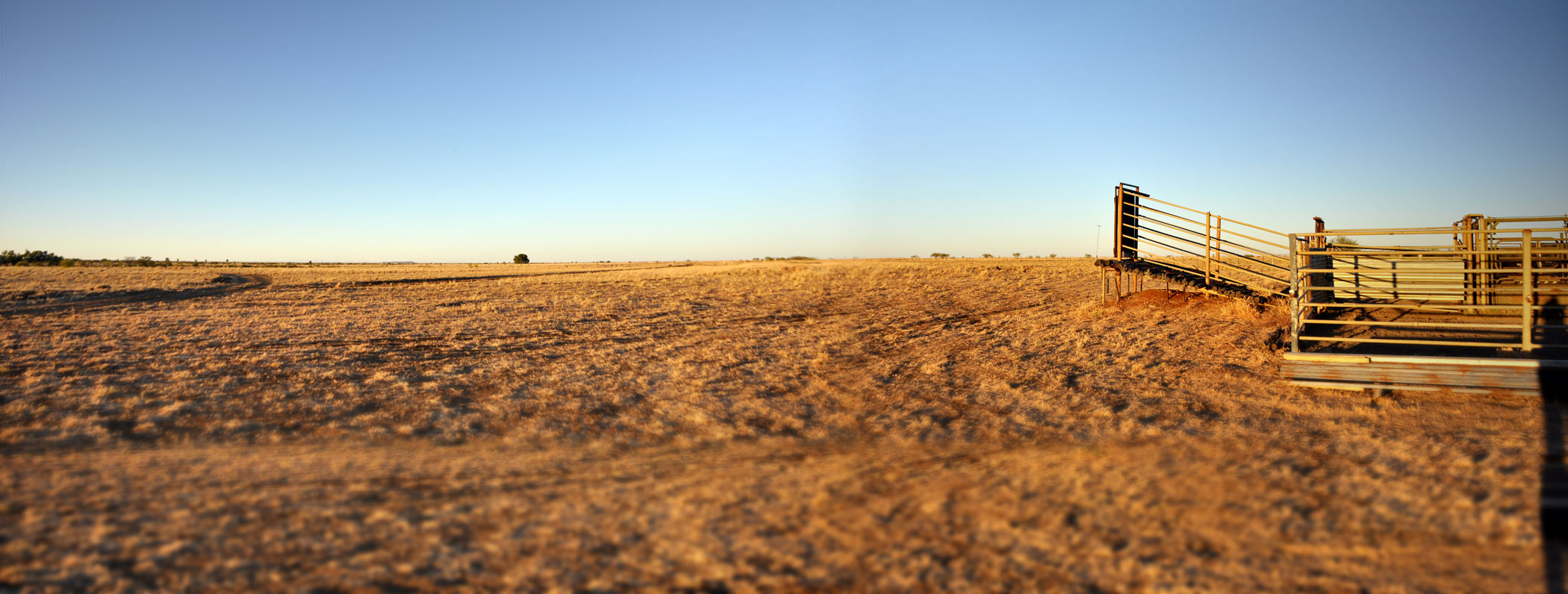
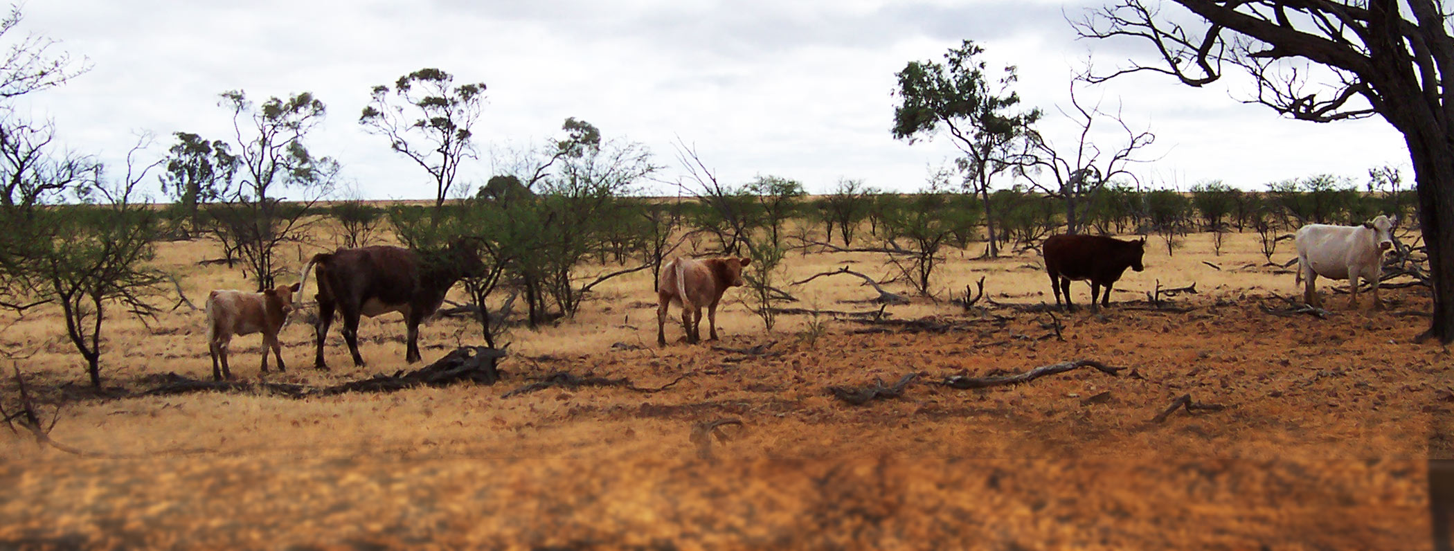
The western region features wide undulating Mitchell grass plains, that naturally have no trees except a few coolibahs in the gullies; vine trees or white wood on the ridges. As you go east, the gidgee and sandy desert type country appears.
The Great Artesian Basin covers most of the central region of Queensland. Muttaburra obtains its water supply from a bore. There is little known mineral potential and no major mineral development expected in the district. The Muttaburra area has good quality agricultural land used for sheep and cattle grazing. The pastoral industry is the main area of employment in the area and as such is of great importance to the economic structure of the region.


